Projekt EUXDAT (European e-Infrastructure for Extreme Data Analytics in Sustainable Development) míří do finále. V říjnu 2020 tento tříletý výzkumný projekt, financovaný Evropskou komisí, končí.
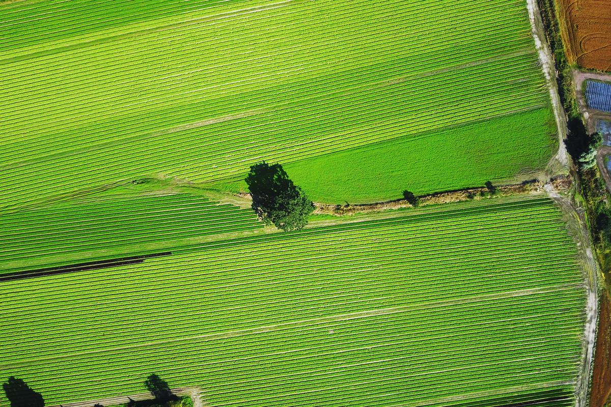
EUXDAT byl zacílen na navržení digitální infrastruktury, zaměřené na zemědělství, monitorování půdy a energetickou účinnost pro udržitelný rozvoj, jako způsob podpory plánovacích politik.
Dne 23. října se koná druhý závěrečný projektový webinář. (Registrační formulář, odkaz na webinář v Zoomu)
Pilots’ session 2 – 23. 10. 2020, 10:30 AM CEST
EUXDAT relevance towards Achieving Climate Neutrality. Karel Charvát (CoO)
Climate action will be at the heart of the European Green Deal – an ambitious package of measures ranging from ambitiously cutting greenhouse gas emissions, to investing in cutting-edge research and innovation, to preserving Europe’s natural environment. We will explain, how EUXDAT can help manage weather information and how can help to agriculture in mittigation on climatic changes and also how reduce negative influence of Agriculture on clime.
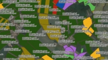
Agro-Climatic Zones Scenario. Karel Jedlička, Pavel Hájek (WirelessInfo)
The Agro-climatic classification system allows user to calculate a time and spatial distribution of agroclimatic variables such as Forst dates (Last frost dates/First spring dates), Annual/Seasonal Evapotranspiration and precipitation, Soil temperature, Solar radiation, Growing degree units, Heat stress units or Number of days with optimal growing temperatures based on historical data of ERA5-Land dataset.
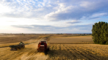
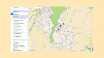
Field Accessibility Tool and its Components. Marcela Doubková (PESSL Instruments)
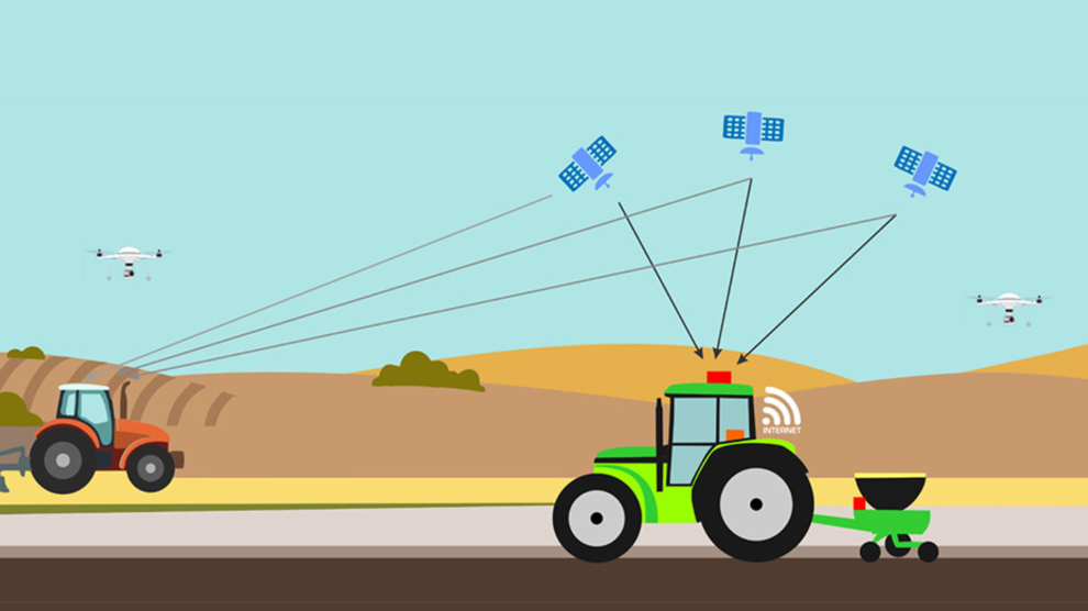
WORKFLOW is a service for clients that provides them information on field accessibility for their machinery for upcoming 3-5 days. The service is based on iMETOS soil moisture data (from Pessl Instruments), soil moisture forecasted data (Meteoblue), DEM available from Shuttle Radar Topographic Mission (SRTM) as well as state-of-the-art Sentinel-2 data. The output information informs user about field accessibility ranging from ‘not accessible’ to ‘easy accessible with heavy machine’.
Discussion and feedback analysis. Karel Charvat (CoO), Jorge Lopez (ATOS)